The world of digital mapping is rapidly evolving, empowering individuals to become active participants in creating and shaping the geographical data we all rely on. With the advent of user-friendly tools like MapBox’s open-source ‘iD’ editor, contributing to OpenStreetMap (OSM) has never been more accessible. This revolutionary editor, designed for simplicity and intuitiveness, allows anyone, regardless of their technical expertise, to engage in DIY cartography and contribute to a globally shared map. This article explores the ‘iD’ editor, its features, and how it’s democratizing the process of mapping, making it possible for anyone to improve the accuracy and completeness of OpenStreetMap.
Unveiling the ‘iD’ Editor: A Gateway to OpenStreetMap
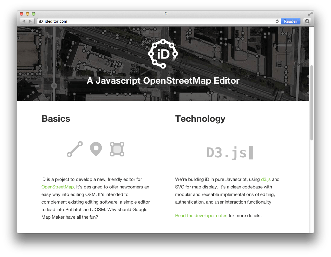
The ‘iD’ editor is a browser-based, open-source tool specifically crafted for editing OpenStreetMap data. Its clean and uncluttered interface prioritizes ease of use, making it significantly less daunting than some of the more complex desktop GIS software traditionally associated with mapping. The editor is built with JavaScript and offers a responsive design that adapts to various screen sizes, from desktops to tablets.
Key Features of the ‘iD’ Editor:
- Intuitive Interface: The ‘iD’ editor boasts a user-friendly design with clear icons and labels, making it easy for beginners to navigate and understand.
- Simplified Tagging: Adding and editing map features is streamlined through pre-defined templates and suggestions, eliminating the need to memorize complex tagging schemes.
- Real-time Validation: The editor provides immediate feedback on potential errors and inconsistencies, ensuring data quality and preventing common mistakes.
- Integration with Imagery: ‘iD’ seamlessly integrates with various aerial imagery sources, such as MapBox Satellite, Bing Maps, and others, providing a visual reference for accurate mapping.
- Community Support: A vast and active OpenStreetMap community offers support, guidance, and resources for new and experienced contributors alike.
Hands-On Experience: Contributing to OpenStreetMap with ‘iD’
Getting started with the ‘iD’ editor is remarkably straightforward. Simply navigate to the OpenStreetMap website, create an account, and click the “Edit” button on the map. This will launch the ‘iD’ editor, displaying the area you’ve selected. From there, you can begin adding and modifying map features, such as roads, buildings, and points of interest.
Steps to Contribute:
- Select an Area: Zoom in to the area you wish to contribute to.
- Identify Features: Observe the imagery and identify features that are missing or inaccurate on the map.
- Add and Modify: Use the tools in the ‘iD’ editor to add new features or modify existing ones.
- Tagging: Assign appropriate tags to each feature to describe its type and attributes.
- Save Changes: Once you’re satisfied with your edits, save your changes and provide a brief description of the modifications you’ve made.
The ‘iD’ editor’s real-time validation is a crucial aspect of ensuring data quality. The editor will alert you to potential errors, such as overlapping features or missing tags, allowing you to correct them before submitting your changes. This built-in quality control mechanism helps maintain the accuracy and reliability of OpenStreetMap data.
The Democratization of Mapping: Empowerment Through ‘iD’
The ‘iD’ editor represents a significant step towards democratizing the field of cartography. By providing an accessible and user-friendly tool, MapBox has empowered individuals worldwide to actively participate in creating and maintaining a global map. This collaborative effort fosters a sense of community and allows for the collective improvement of geographical data. The ease of use of the ‘iD’ editor allows even those with no prior experience to contribute to OpenStreetMap.
The impact of DIY cartography, fueled by tools like the ‘iD’ editor, extends far beyond simply adding features to a map. It empowers local communities to document their surroundings, preserve local knowledge, and contribute to a more accurate and comprehensive representation of the world. OpenStreetMap is a living, breathing map, constantly evolving and improving thanks to the contributions of individuals from all walks of life. The future of mapping is collaborative, and the ‘iD’ editor is playing a pivotal role in shaping that future. The accessibility of tools like ‘iD’ truly makes DIY cartography available to everyone, ensuring a more complete and representative map for all.
So, you’ve dipped your toes into the world of DIY cartography with the ‘iD’ editor – fantastic! But remember, with great power comes great responsibility (and in this case, great map accuracy). Here are a few tips to elevate your OpenStreetMap contributions from good to exceptional:
Sharpening Your Mapping Skills: Tips for Advanced ‘iD’ Editing
Understanding Tagging Conventions
While ‘iD’ simplifies tagging, it’s crucial to understand the underlying conventions. Don’t just rely on the suggested tags; delve into the OpenStreetMap wiki to learn the nuances of tagging specific features. For instance, a ‘highway=path’ tag could be further refined with ‘surface=gravel’, ‘width=2’, and ‘foot=designated’ to provide a more detailed description. The more specific you are, the more useful your data becomes for routing and analysis.
Leveraging Imagery and Local Knowledge
Satellite imagery is a powerful tool, but it’s not infallible. Sometimes, imagery can be outdated, obscured by cloud cover, or simply not detailed enough. Supplement your observations with local knowledge. If you know a path has recently been repaved, or a building has been demolished, update the map accordingly, even if the imagery hasn’t caught up yet. Always prioritize ground truth over potentially inaccurate imagery.
Validating Existing Data: The Power of Review
Don’t just focus on adding new features; take the time to review existing data. Look for inconsistencies, outdated information, or areas where the tagging could be improved. You can use tools like Osmose or KeepRight to identify potential errors and contribute to the overall quality of the map.
Collaborating with the Community: A Team Effort
OpenStreetMap is a collaborative project, so don’t be afraid to ask for help or guidance from other mappers. Join local mapping groups, participate in online forums, and reach out to experienced contributors for advice. Constructive criticism is invaluable for improving your skills and ensuring the accuracy of the map.
Avoiding Common Pitfalls: Best Practices for ‘iD’ Editors
- Don’t Map from Memory: Always use a reliable source of information, such as satellite imagery or ground surveys. Mapping from memory can lead to inaccuracies and inconsistencies.
- Be Mindful of Privacy: Avoid mapping sensitive information, such as private residences or security details. Respect the privacy of individuals and organizations.
- Don’t Import Data Without Permission: Importing data from external sources without proper authorization is a violation of OpenStreetMap’s licensing terms. Always obtain permission before importing data.
- Tag Consistently: Use consistent tagging conventions to ensure that your data is compatible with other OpenStreetMap data. Refer to the OpenStreetMap wiki for guidance on tagging conventions.
- Double-Check Your Work: Before saving your changes, carefully review your work to ensure that it is accurate and consistent. Use the ‘iD’ editor’s validation tools to identify potential errors.
By following these tips and best practices, you can contribute to a more accurate, comprehensive, and valuable OpenStreetMap. Remember, every contribution, no matter how small, makes a difference. Keep mapping, keep learning, and keep improving the world, one edit at a time! Your dedication to meticulous work enhances the value of OpenStreetMap for everyone.
.
Now that you’re armed with advanced techniques, let’s talk about navigating ethical considerations within the world of DIY cartography; Remember, mapping isn’t just about adding lines and points; it’s about representing the world and the people who inhabit it. It’s crucial to approach this task with sensitivity and respect.
Ethical Mapping: Considerations for the Responsible Cartographer
Respecting Indigenous Knowledge and Cultural Heritage
When mapping in areas with indigenous populations or significant cultural heritage, be extra cautious; Consult with local communities to understand their perspectives and avoid mapping sensitive sites without their consent. Remember that traditional place names and cultural landmarks may not be readily apparent on satellite imagery, so actively seek out and respect local knowledge;
Handling Sensitive Data with Care
As we’ve mentioned before, privacy is paramount. Avoid mapping sensitive information that could compromise the safety or security of individuals or organizations. This includes details about private residences, security systems, or vulnerable populations. If you’re unsure whether a particular feature is appropriate to map, err on the side of caution and consult with the community.
Promoting Accessibility and Inclusivity
Consider how your mapping efforts can promote accessibility and inclusivity. Ensure that features like wheelchair ramps, accessible restrooms, and public transportation stops are accurately mapped. Use descriptive tagging to provide detailed information about accessibility features, such as the width of doorways or the presence of audio signals at crosswalks.
Being Transparent About Your Intentions
When you’re mapping in a specific area, be transparent about your intentions. Let local residents and businesses know that you’re contributing to OpenStreetMap and explain the purpose of the project. This can help build trust and encourage collaboration.
Understanding the Impact of Your Work
Consider the potential impact of your mapping efforts on the environment and local communities. Avoid mapping features that could contribute to environmental degradation or displacement. For example, be cautious about mapping new roads or developments in ecologically sensitive areas. Think critically about how your contributions will affect the long-term well-being of the people and places you’re mapping. The ‘iD’ editor is a tool and it is the user who determines its ethical use.
Expanding Your Cartographic Horizons: Beyond the ‘iD’ Editor
- Explore JOSM: For more advanced editing capabilities, consider using JOSM (Java OpenStreetMap Editor). It offers a wider range of features and plugins for complex mapping tasks.
- Learn About Overpass API: The Overpass API allows you to query OpenStreetMap data based on specific criteria. This is a powerful tool for analyzing data, identifying errors, and creating custom maps.
- Contribute to Mapillary: Mapillary is a street-level imagery platform that integrates with OpenStreetMap. By contributing street-level photos, you can provide valuable visual context for mappers and improve the accuracy of the map.
- Join Mapping Events: Participate in local or online mapping events to connect with other mappers, learn new skills, and contribute to specific projects.